CARTO - Workshops and Contributions
Multiple projects conducted between May 2016 to August 2017 at CARTO
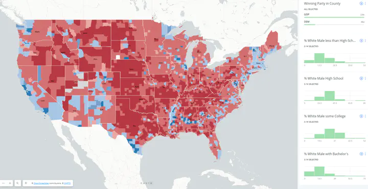
My first contribution to the CARTO environment was to develop materials for the Carto Academy depicting how to implement and interpret spatial tools on the web GIS platform. This has since been deprecated to accommodate for changes in the version of the current software.
Carto Camp Meetup workshops
Workshop I
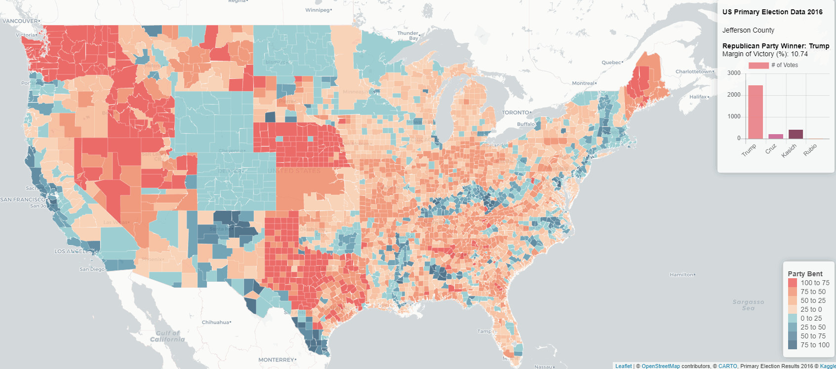
As a part of exploring visualization tools I held several workshops at the Carto Camp Meetup. The map above is an implementation of primary election data using leaflet and charts.js. Link to repository with workshop details
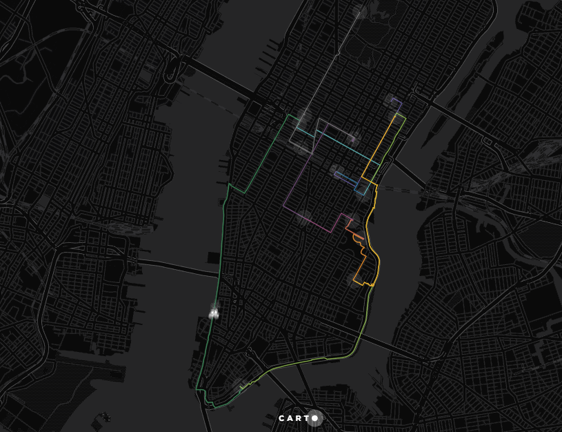
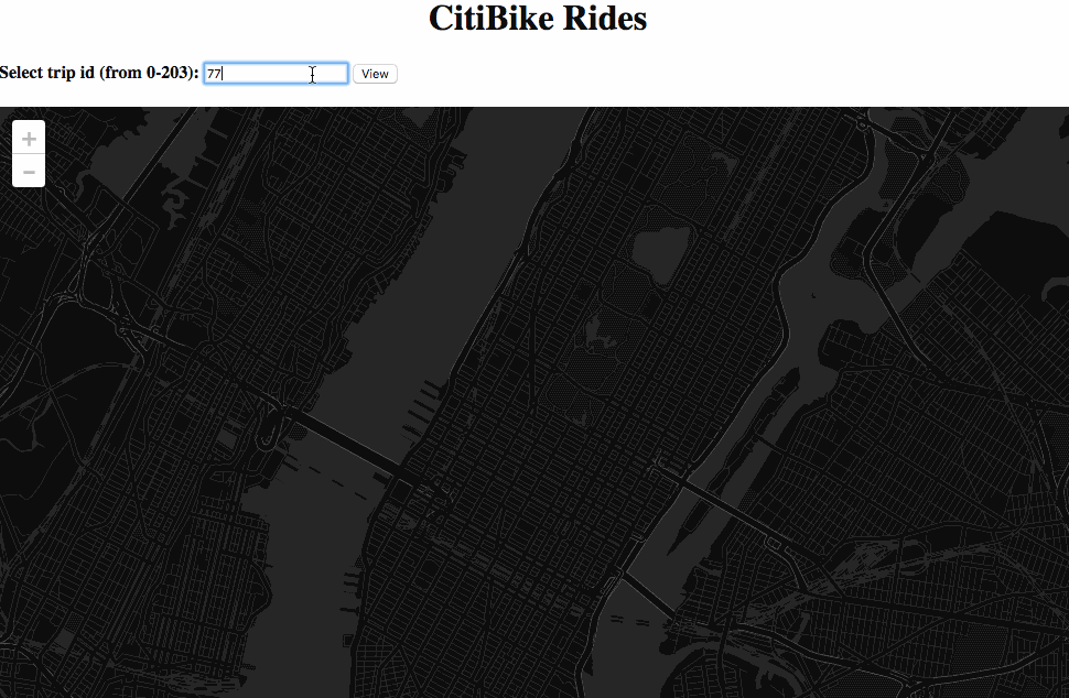
Workshop II
The maps below were for a two-part collaborative workshop using Citi bike data, Google Maps API (for routing between origin-destination pairs) and d3.js for visualization of routing data. Link to repository with workshop details
Other projects
This project is an implementation of API.AI, a natural language interactions platform to make a bot that responds to simple sentences and makes maps. It is driven by a node.js app that extracts a “measure” from the sentence asked, geocodes the city of input, queries that measure for census tracts in the city from CARTO’s Data Observatory and maps it using the Maps API. As a first pass it was an internal slack integration to help train it more and scope further development.
Mehak Sachdeva
Assistant Professor of Urban Science
My research interests include spatial statistical methods with applications in the social, urban and environmental sciences.